
Sources for Valdosta Neighbors
Public files answer different questions about a Valdosta block. The parcel map shows land boundaries, while the tax report names an owner and mailing destination. Deeds confirm transfers. Planning files show only properties involved in a public case, and a neighborhood association supplies a civic contact rather than a resident roster.
| Source | What It Shows About a Block | Access |
|---|---|---|
| Lowndes qPublic GIS | Parcel outlines, situs placement, neighboring polygons | Free; ownership is not occupancy |
| Parcel reports | Owner, mailing and situs addresses, exemption, deed | Free; monthly ownership lag |
| GSCCCA deeds | Buyers, sellers, and instruments for parcels | Account or courthouse |
| Planning files | Applicants, owners, parcels, and requests | PDF or records request |
| Neighborhood associations | Public contact, meetings, and civic projects | City contact; no member roster |
Matching an owner's mailing address to the situs can support owner occupancy, and homestead is a stronger clue. Neither proves who else lives there. A different mailing address may belong to a nonresident owner, trust, estate, manager, business, or simply reflect a mailing preference.
Map a Valdosta Neighbor Block
Use the Lowndes GIS parcel viewer to define the block between the nearest intersections. Number order is not enough. Corner parcels may face a cross street, and one parcel can contain several units. The polygon and parcel ID are more dependable than a guessed radius.
- Find the starting situs and confirm its outline.
- Record the parcel ID, then click each touching lot.
- Inspect lots across the road and continue to both intersections.
- Compare situs, mailing address, homestead, and deed reference.
- Check a plat or deed when a legal boundary matters.
Exact buffer and adjacent-select controls were not verified, so work polygon by polygon. For the whole road, use the Valdosta street directory. Lowndes reports about 50,932 parcels across 509 square miles, which makes copied parcel IDs vital.
Confirm Valdosta Neighbor Owners
Open each parcel report and record the current indexed owner, owner mailing address, situs, parcel number, legal description, exemption, sale, and deed book/page. Assessment ownership updates around the first of each month. A new clerk-recorded deed can therefore appear before qPublic changes.
Use the book/page bridge in the GSCCCA deed index to confirm buyer, seller, instrument type, recording date, and description. When an image is gated, use an account or the courthouse terminal. This proves title evidence, not a full list of Valdosta neighbors.
The tax-mail recipient, physical occupant, and deed owner are separate roles. Renters and relatives with no title do not appear on the parcel roll. Apartment residents may share one parcel record.
Valdosta Neighborhood Action Groups
Valdosta describes Neighborhood Action Associations as common-identity areas that exchange information, set priorities, organize projects, and communicate with government. The Community Involvement office, 229-259-3588, can identify a public representative or meeting route. No central member roster was found.
District 3 groups
West Street, Hightower, and Greer Park are named as active associations.
Orange Street
The council page mentions a neighborhood-watch group.
Planning desk
City Hall Annex, 300 N. Lee Street, Room 108; 229-259-3529.
The Neighborhood Action source shows the civic route available to Valdosta neighbors.
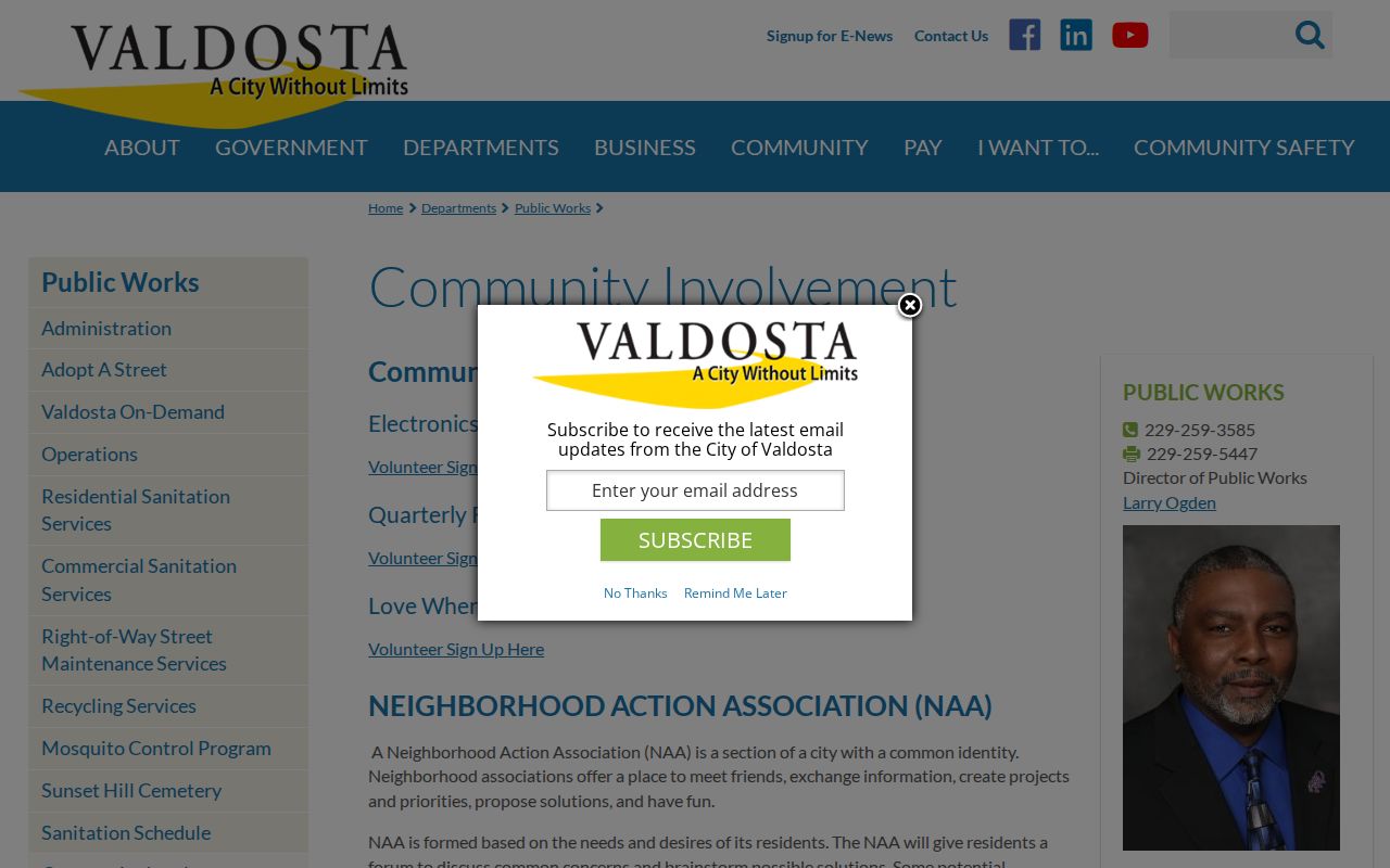
Association contacts support meetings and projects, not household identification.
Valdosta Plan Areas Do Not Match
The city names Brookhaven, Cypress, Devonwood, Greer Park, Hightower, Leila Ellis, Lincoln Park, Little Miami, Kill Me Quick, North Patterson, Pinevale, Southside, Tom Town, Ulmer Avenue, and West Side. Its page says 16 plan neighborhoods but displays 15 named links. West Street is active elsewhere but is not one of those plan titles.
A plan area, postal label, civic association, historic district, and parcel boundary can overlap without matching. Check an address with city staff before assuming coverage or membership.
The District 3 page gives active group examples.
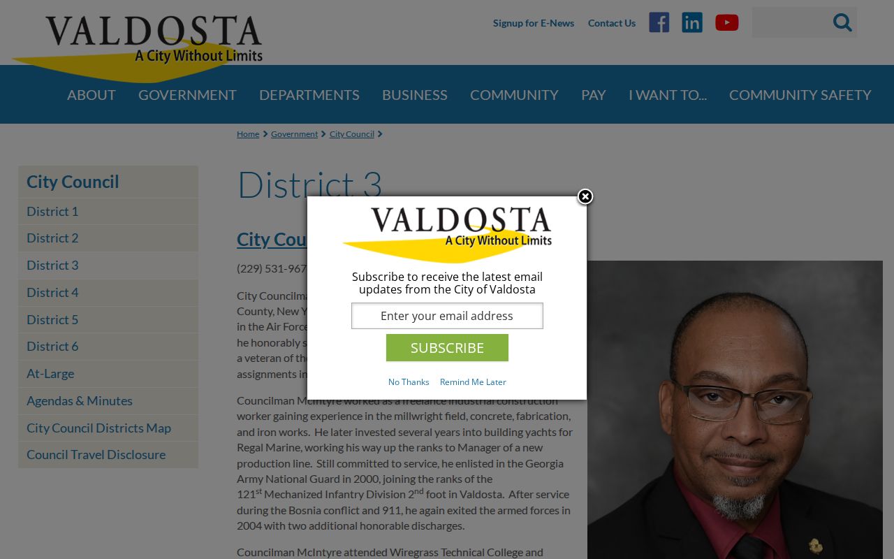
The council record adds civic context that the plan list alone cannot supply.
Request Valdosta Block Records
Planning minutes can name applicants, owners, parcels, land-use requests, staff recommendations, and decisions. Permit and code files require a focused request when no published PDF exists. Ask for existing applications, issued permits, inspections, certificates, variance files, and closed code cases for exact parcels and dates.
The Valdosta request portal is the city access channel.
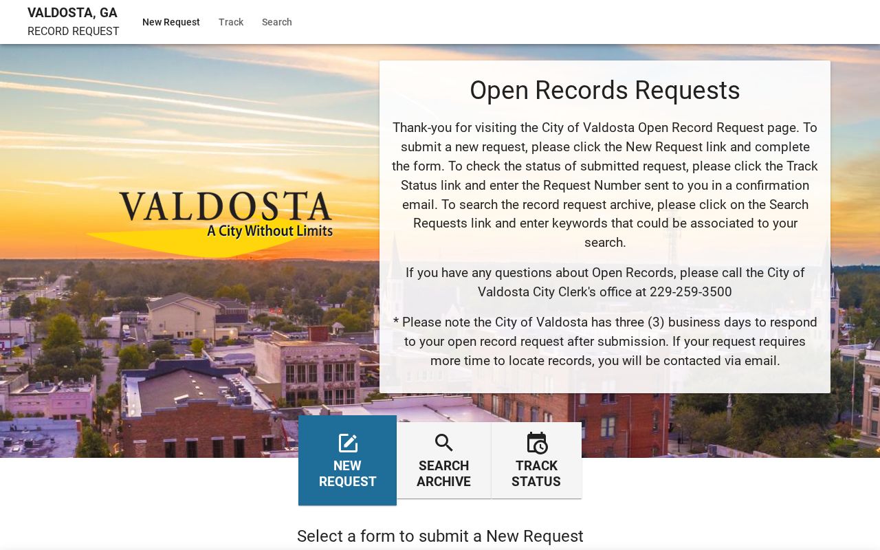
A narrow request retrieves records without asking staff to create a new block history.
Compare Valdosta Neighbor Sources
Official rolls and commercial neighbor compilations serve different purposes. Check the custodian, date, and field meaning before trusting a name.
| Source | Strength | Limit |
|---|---|---|
| County parcel and deeds | Traceable owner and transfer references | Not all occupants |
| City civic and planning files | Public contacts, projects, cases | Only participating groups or parcels |
| Commercial compilations | Gather many dated sources | Can merge stale names and addresses |
When sources conflict, return to the parcel ID, deed, official file, or custodian. A compilation cannot override official evidence.
A tax digest is an annual snapshot, while a deed index records a transfer event. Planning minutes may identify an owner or applicant only because a parcel entered a public proceeding. Dates should be carried beside every name. This guards against turning a past owner, project contact, or association representative into an unsupported claim about a present household.
Voter Evidence Near Valdosta Neighbors
The Georgia Secretary of State's My Voter Page asks for a first initial, last name, county, and date of birth. It verifies one known voter. It does not browse all voters near an address, and no election record reveals ballot choices. Lowndes Elections, at 2808 N. Oak Street, handles lawful voter-list access and public election records.
A nonmatch is weak evidence. Spelling, county selection, registration status, date input, or record timing can all affect the result. When voter information is lawfully available, use it as a dated residence clue and keep protected identifiers out of any notes or shared work.
Valdosta Mailing Lines and Blocks
A postal Valdosta address can fall outside incorporated city limits. ZIP areas 31605 and 31606 spill into unincorporated Lowndes County. Resolve the parcel and municipal boundary before requesting city permits or assuming that a Valdosta plan area covers the block.
Historic and local names add another layer. Little Miami, Kill Me Quick, Tom Town, and the six historic districts can be useful terms in plans, newspapers, and oral histories. They do not define legal parcel limits or association membership. Use the local name to find context, then return to the parcel geometry and custodian for the record.
Local Help for Valdosta Neighbors
Online access is only one channel. The Board of Assessors counter at 302 N. Patterson Street can help with a parcel record; call 229-671-2540. Recorded transfers and plats belong to the Superior Court Clerk's Real Estate Division at 327 N. Ashley Street, first floor, 229-333-5125. Bring a parcel number, deed book/page, or exact legal description.
For civic coverage, contact Community Involvement at 229-259-3588. Planning files use the City Hall Annex office, while county records must go to the county custodian. This routing matters because the city is not the keeper of county deeds, tax cards, or voter registrations. A focused request saves time and limits unrelated personal data.
Privacy for Valdosta Neighbors
My Voter Page checks one known voter and cannot browse a block. No voter file reveals ballot choices. Congregation, club, utility, delivery, watch-group, and private association rosters stay private unless the custodian intentionally publishes them. Georgia Safe at Home also lets eligible survivors use a substitute address in public files.
Gaps can be intentional. Permit files cover only people in a public matter, and parcel records omit renters and family members without title. Respect protected addresses and do not republish block data.
Lawful use. Research Valdosta neighbors only for lawful civic, historical, reconnecting, or safety purposes. Never watch, harass, intimidate, expose, or harm another person.