
Walk a Valdosta Street by Address
A reliable Valdosta street directory search separates ownership from occupancy. The Lowndes County assessment roll names the indexed owner, but that person may receive tax mail elsewhere. A voter record or dated directory entry can support residence, yet neither creates a complete household list. Keep the normalized address and parcel number beside every result. Those two keys help prevent a similarly named road or a lot across an intersection from entering the chain.
- Enter the location address in the Lowndes qPublic property search. Copy the parcel number, situs, owner, mailing address, legal description, and deed book/page.
- Open the GIS map and confirm that the highlighted parcel sits on the expected side of the street. Click each parcel in map order.
- Use the deed reference in GSCCCA to confirm the recorded buyer, seller, instrument date, and property description.
- For voter evidence, use Georgia's lawful county-file process. My Voter Page checks one known voter and cannot browse a street.
- For an earlier household, compare dated directories, telephone books, census sheets, and Sanborn maps at the library or archive.
This sequence moves from place to person without assuming that an owner is the only resident. It also provides a fallback when one portal is blocked: the assessor counter, courthouse terminal, written records request, and library collections remain useful access channels.
Search Valdosta Street Fields
The Lowndes qPublic search accepts several keys. Address is best for a street directory, while parcel and legal information help resolve uncertain results. Range syntax may work in the form 1200-1299 Main; if it does not, omit the number and narrow the results on the map.
| Search field | Input | Best use |
|---|---|---|
| Owner Name | Text, with possible exact match | Find parcels tied to a known owner |
| Location Address | Street or address | Build the by-address list |
| Parcel Number | County identifier | Reopen one verified parcel |
| Legal Information | Subdivision, lot, block, or legal terms | Match deeds and plats |
The site reports data from the last certified tax roll, and ownership updates about monthly. A new recorded deed can therefore appear in GSCCCA before the assessor changes the owner name.
The source view of the Lowndes parcel address search shows the entry point used for this Valdosta street directory.
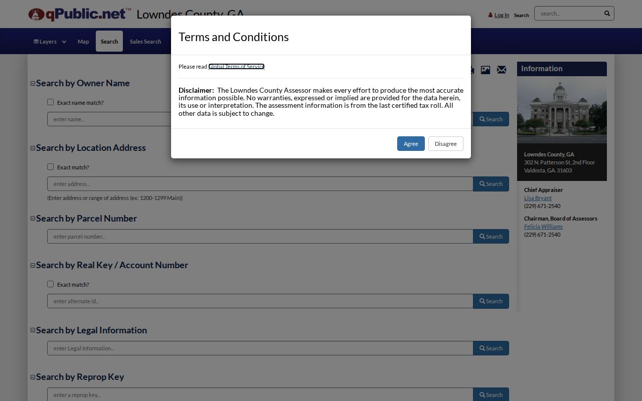
The screen is most useful when its text results are checked against parcel geometry.
Map Valdosta Parcels in Order
The Lowndes GIS parcel viewer supplies the spatial check that a text list lacks. Locate the starting situs, verify its outline and parcel ID, then zoom to the road. Click neighboring polygons one at a time and follow each linked property report. Geometry matters more than number order because corner parcels and similarly named roads can sort poorly.
Lowndes County reports about 50,932 parcels across 509 square miles. That scale makes parcel IDs worth recording. The map confirms which lot belongs to an address, not how many people occupy a building. Multiple units may sit on one parcel, and a vacant lot can still have a situs label.
- Parcel
- A mapped unit of land with a county identifier.
- Situs address
- The physical location assigned to the parcel.
- Plat
- A recorded drawing of lots, boundaries, and easements.
- Criss-cross directory
- A dated directory arranged by street and house number.
Bridge Valdosta Streets to Deeds
The deed book and page on qPublic is the fastest bridge from an address to the GSCCCA Real Estate index. GSCCCA is centered on names and instruments, not a simple street browse. Search Lowndes County by grantor or grantee, book/page, property terms, or a recording date range. Results can show party roles, instrument type, date, book/page, and related records.
Statewide online coverage reaches at least January 1, 1999. The exact earlier Lowndes cutoff is not published. Limited-use accounts can search summaries but cannot view or print images. A single-use account costs $5 for four consecutive hours, with printed pages at $0.50. The courthouse terminal and Real Estate Division at 327 N. Ashley Street are the key fallbacks for images and older books.
The GSCCCA real estate search guide illustrates the name and document system behind a Valdosta street directory deed check.
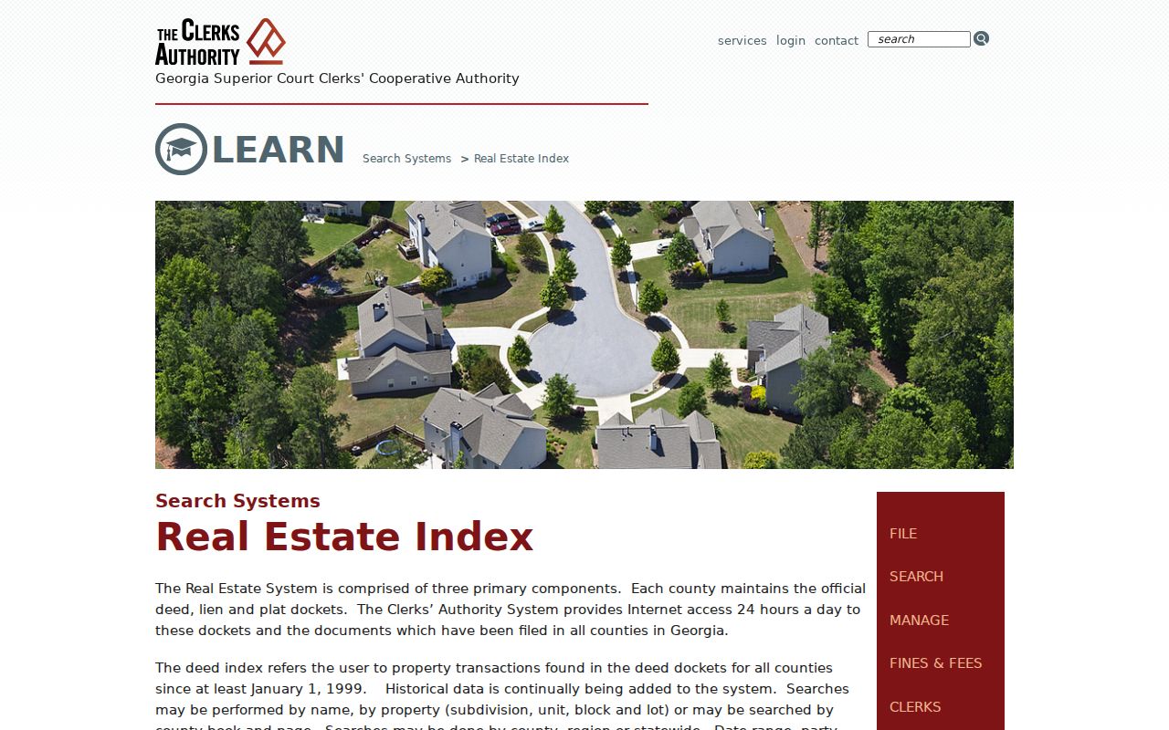
Use its transfer data to confirm title, not to claim who slept at the address.
Valdosta Street Directory Record Set
No single record answers every street question. The sources below form a layered street directory, with each custodian contributing a different kind of evidence.
| Record Set | Keeper | What It Shows | Access |
|---|---|---|---|
| Assessment and tax digest | Lowndes Board of Assessors | Owner, situs, mailing address, value, exemption | Free qPublic, counter, or request |
| GIS parcel map | Lowndes County | Parcel outlines, streets, adjacent lots | Free viewer |
| Deeds and liens | Superior Court Clerk | Buyer, seller, instrument, legal description | GSCCCA account or courthouse |
| Voter records | Lowndes Elections | Lawfully released registration fields | County or one-voter MVP check |
| Permits and zoning | City or county department | Applications, work, dates, decisions | Published PDF or records request |
The parcel number ties assessment, map, and permit material together. Book/page moves the search into deeds. A street name can help request voter or planning records, but neither source should be read as a current household roster.
For a failed online search, call the Board of Assessors at 229-671-2540 or visit its weekday counter at 302 N. Patterson Street. Deed questions go to the Real Estate Division at 327 N. Ashley Street, first floor, by phone at 229-333-5125 or email at realestate@lowndescounty.com. Take the parcel number, legal description, and book/page so staff can reach the same record without relying on a street spelling alone.
The Board of Assessors property guidance explains the office behind the current roll.
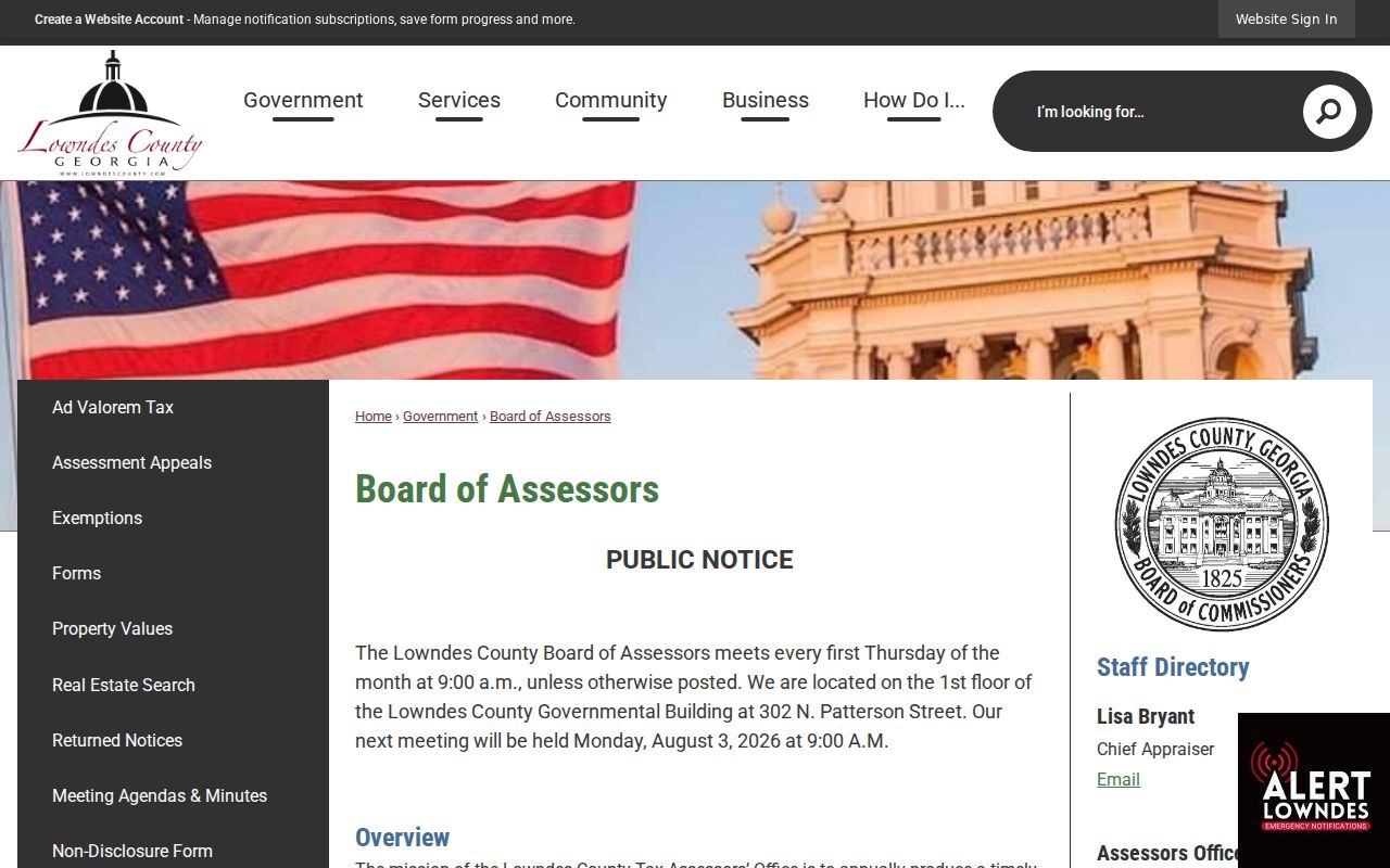
The office remains the direct route when the web record is unclear or needs context.
Request Valdosta Address Files
Valdosta does not publish one unified permit and code portal. Published planning minutes may name an applicant, owner, parcel, zoning request, dimensions, staff recommendation, and decision. For other material, ask the city or county custodian for existing permit applications, issued permits, inspections, certificates of occupancy, zoning applications, variance files, and closed code cases tied to an exact address or parcel and a date range.
That wording seeks existing files rather than asking staff to create a new street history. City-created records use the Valdosta open-records route. County administrative requests can go to the County Clerk. Georgia's Open Records Act allows labor charges after the first quarter-hour and requires a response within three business days when records cannot be produced at once.
The Lowndes tax digest explanation shows why the annual tax snapshot belongs beside permit material.
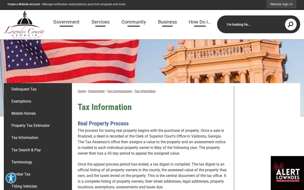
Tax and permit records describe different events, so dates and parcel keys should be compared.
Read Older Valdosta Street Addresses
Historic research needs dated sources. Valdosta directories are verified for 1904 and 1931, digitized telephone books cover December 1943 through January 1953, and Sanborn maps exist for 1885, 1911, 1912, and January 1922. A directory entry can identify an occupant, including a renter, while a deed establishes ownership. Neither substitutes for the other.
Old deeds may use land lots or metes-and-bounds, a boundary description written from measured courses, rather than today's number. Sanborn sheets supply block, footprint, use, and number context. Census records through 1950 can add household evidence. For the full shelf and reading methods, use the Valdosta city directory collections.
No official citywide renumbering year was found. Avoid inventing one. Match a historic address through the legal description, parcel, map footprint, directory date, and cross streets.
Sanborn coverage grows from one sheet in 1885 to 26 sheets in 1922. That expansion supplies far more block detail for the later city. It still describes structures and use at a date, not a permanent list of residents.
Jurisdiction also needs a check. ZIP areas 31605 and 31606 extend into unincorporated Lowndes County, so a postal city of Valdosta does not prove that city permit files apply. Confirm the parcel and municipal boundary first, then direct the request to Valdosta or the county. Historic district names such as North Patterson, Brookwood North, Southside, East End, Fairview, and Commercial can help search planning minutes and newspapers, but they never replace an exact legal description.
The street record can change its place name farther back. Lowndes County's seat began at Franklinville, moved to Troupville, and became Valdosta in 1860 after the railroad alignment shifted the town. A pre-1860 resident may therefore be indexed under an earlier seat rather than Valdosta. This is most useful when a deed or family record predates the modern street grid.
Limits of Valdosta Street Records
A Valdosta street directory cannot establish every renter, adult, child, or apartment resident. Tax mail is not proof of residence. Homestead is a stronger owner-occupancy clue, but it is not a household list. Transfers may appear in the deed index before the monthly assessor refresh, and a historic number may not match the wording in an old deed.
My Voter Page is an identity-gated check for one voter, not a street browser. A lawfully obtained voter file still excludes protected identifiers and never reveals ballot choices. Driver, utility, delivery, congregation, club, watch-group, and private association member data are not substitutes for public parcel records. Georgia Safe at Home can also place a substitute address in public files for eligible survivors.
Lawful use. Use Valdosta address records only for lawful personal research, family history, civic questions, or scam checks. Never use them to watch, harass, intimidate, or harm a person.